Tunisia, Wadi Jir
NEL Main Aim
Apply and test the NEXUS-NESS WEFE approach as respect to ongoing efforts promoting Integrated Watershed Management (IWM) in the region. Managing and mitigating the environmental and economic impacts of droughts and socio-demographic stressors linked to migrating communities.
River Basin Description:
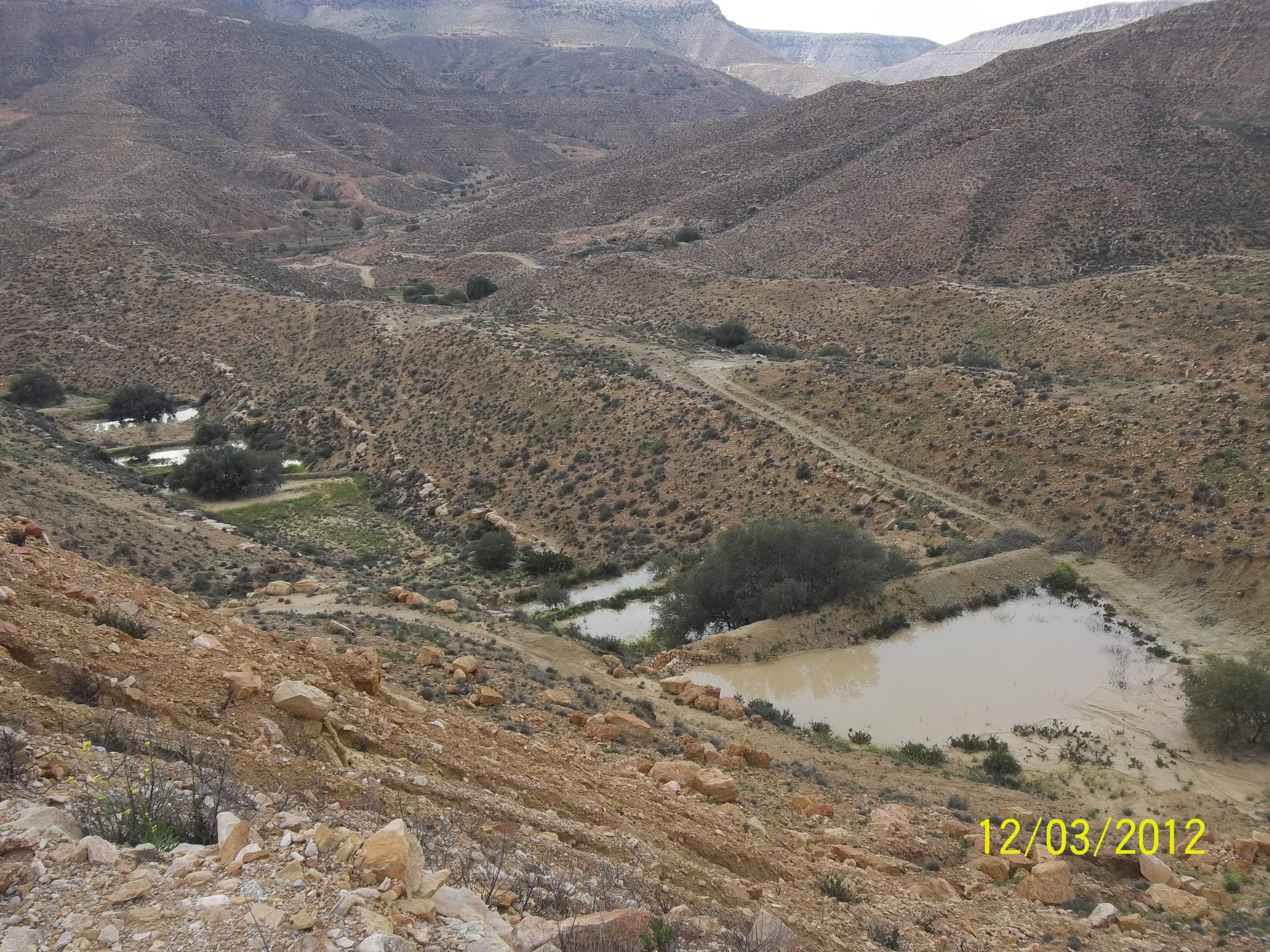
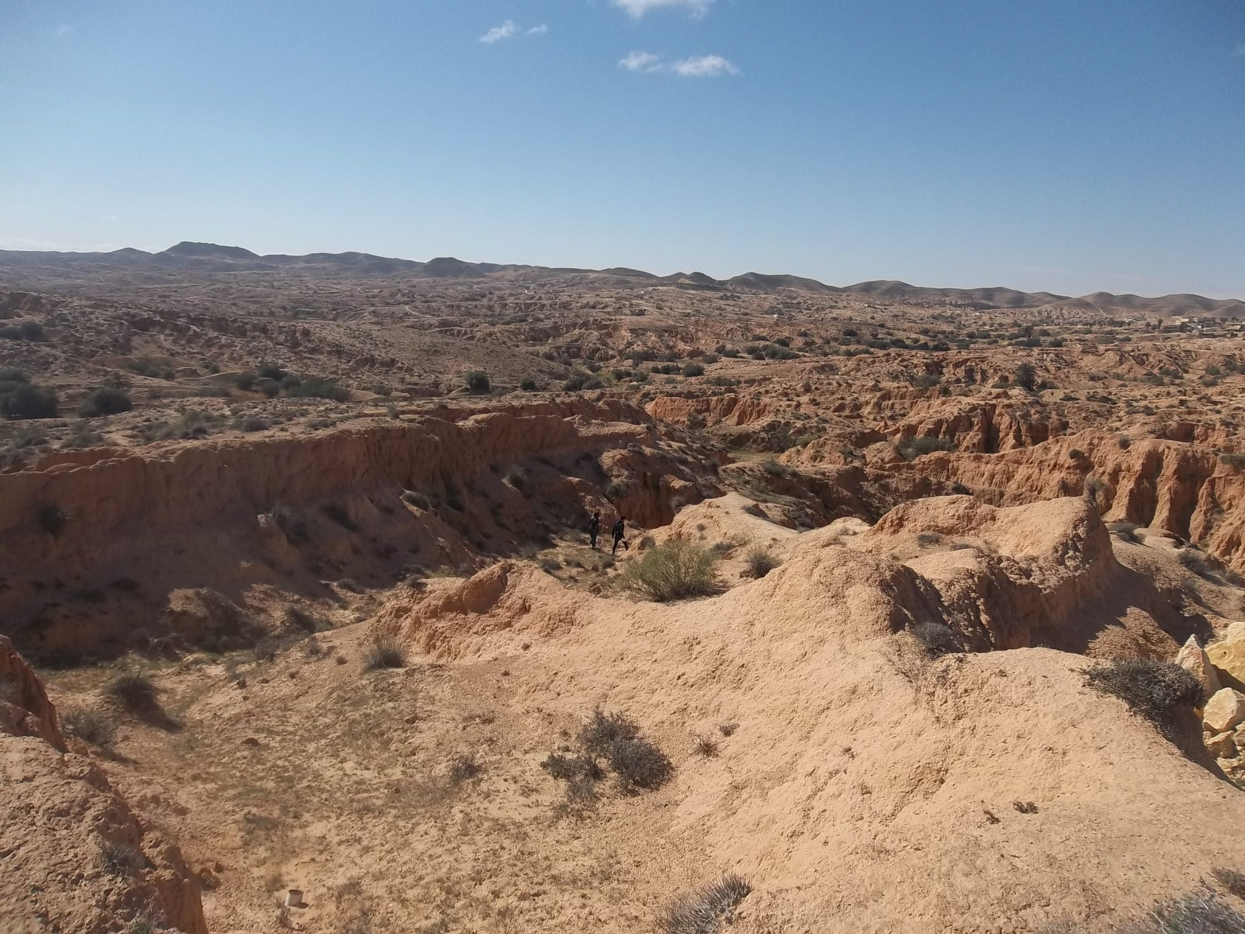
The Tunisian NEL focuses on the Wadi Jir catchment, which has a surface area of 146 km2. It is located in the south-eastern region of Tunisia and has an arid Mediterranean bioclimate. The annual rainfall ranges between 175 mm and 200 mm. This rainfall is very irregular from one year to the next, with a seasonal variation marked by torrential rainstorms, which can bring daily precipitation of the order of 60 to 70% of the interannual average. The
main inhabitants are the Berbers. In 2014, the total number of the population was estimated at 18,668 inhabitants. A wide variety of water harvesting techniques is found in the study watershed. In fact, in addition to water flood spreading structure of new Matmata, there are Jessour on the mountain ranges, tabias on the foothills and piedmont areas, cisterns, and gabion check dams and recharge wells in the wadi closed to water flood spreading structure of new Matmata.


