Egypt, Wadi Naghamish
NEL Main Aim
Egypt NEL will aims to identify and promote fair distribution and utilization of land and water resources among the Bedouin in wadi Naghamish watershed, Matrouh Governorate. Also, the integration of different types of activities with the stakeholders to apply green economy to tackle different environmental threats.
River Basin Description:
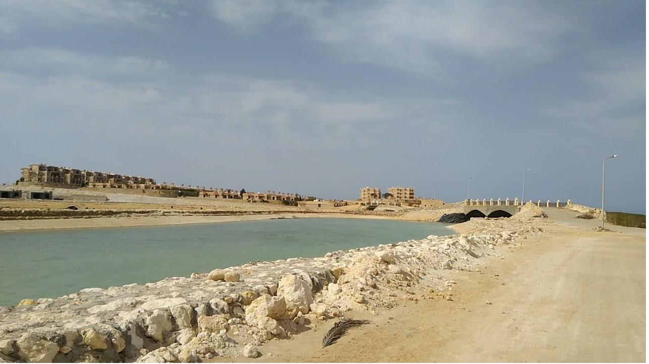
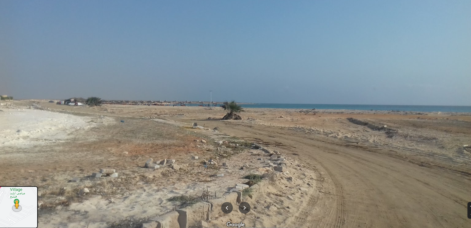
Wadi Naghamish is located about 20 km east of Marsa Matrouh City and comprise one of the largest wadis in Northwest Coast of Egypt. It is located on Ras Alam El-Rum Bay, at WGS84 coordinate, latitude 31°14’1.29″N and longitude 27°21’4.89″E. It has total area of 105 km2. The total number of population is around 7,000 Bedouin inhabitants. The climate is Mediterranean, and the total rainfall reaches about 150 mm, concentrated in months October-February. The NEL has many water management infrastructures such are cisterns ranging in storage volume from 30 m3 to 150 m3; bricks, concrete, and earth dykes. These infrastructures are found along the wadi course. The major kinds of land use in the study area are mainly agriculture and tourism. Within agriculture, land utilization types are represented by planting trees (Figs and Olives), growing barley and wheat, livestock production (sheep, goats and camels), house birds (chicken and pigeon). In summer, the main source of water for irrigation and drinking is that stored in the cisterns, with low quality due to storage as well as over-exploitation of groundwater makes it close to brackish and deteriorated. Tourism is concentrated on the Mediterranean shoreline, where touristic villages are located posing urban pressures on coastal ecosystems.and piedmont areas, cisterns, and gabion check dams and recharge wells in the wadi closed to water flood spreading structure of new Matmata.


