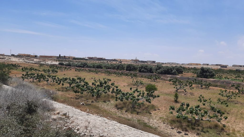
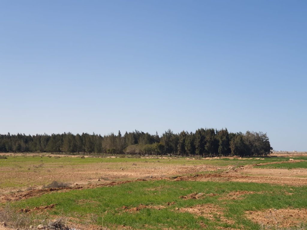
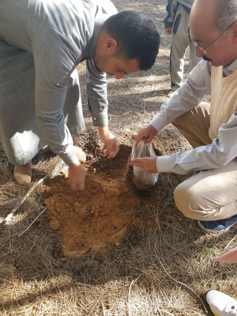
Between April and November 2024, the AU team conducted comprehensive soil survey and mapping activities in the Wadi Naghamish region as part of the NEXUS-NESS project. These efforts involved systematic soil sampling across various locations to assess soil properties, fertility, and overall health. Advanced laboratory analysis was performed on the collected samples to determine key parameters such as soil texture, pH, organic matter content, and nutrient availability, which are critical for sustainable agricultural practices.
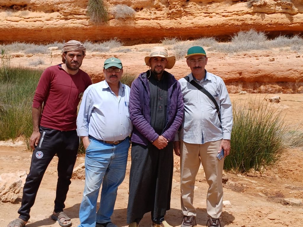
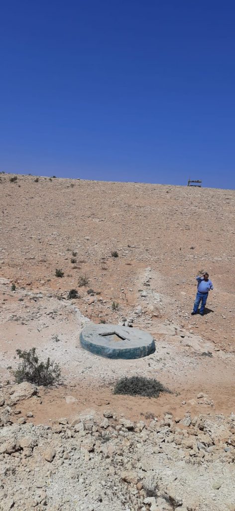
In addition to soil sampling, detailed field surveys were undertaken to evaluate existing water management infrastructure, including traditional water storage and conservation structures such as cisterns and dykes. These structures play a vital role in local water resource management, particularly in arid and semi-arid regions like Wadi Naghamish. The data collected was used to create high-resolution soil and water management maps, which serve as valuable tools for stakeholders to plan and implement effective land and water use strategies.
The outcome of these activities not only contributes to a deeper understanding of local soil conditions but also supports the development of tailored interventions aimed at improving soil productivity and water conservation in the region. The integration of these findings into the broader NEXUS-NESS framework is essential for advancing sustainable land management and promoting resilience in the local ecosystem.
